Alexandra Land is an island located in the Franz Josef Land Archipelago. In April 2010, the Institute of Ecology and Evolution at the Russian Academy of Sciences used a grant from the Russian Geographical Society to carry out a comprehensive expedition to the Arctic archipelago, Franz Josef Land, as part of the Polar Bear Programme. This programme aims to research, preserve and restore polar bear populations in the Russian Arctic.
The programme's main objectives are to study the polar bear habitat in the Russian Arctic; gather data about the polar bears' migrations and the boundaries of the animals' distribution range; identify the factors negatively affecting polar bear populations and the causes of such factors; analyse changes in the polar bear habitat caused by global climate changes; and conduct comprehensive research into these factors. Also, one of the objectives is to make recommendations to ensure that suitable conditions are created for the survival and recovery of depleted polar bear populations in the Russian Arctic.
At present, the most serious threats that face polar bears are industrial development in the Arctic, such as shipping and oil drilling, habitat pollution and destruction, and poaching. Additionally, the seasonal fluctuation of the sea ice cover restricts polar bear migrations. Another central objective for the expedition was to try out the method and technology designed for the management of satellite tracking on remote Arctic territory of the state-run Franz Josef Land Nature Reserve.
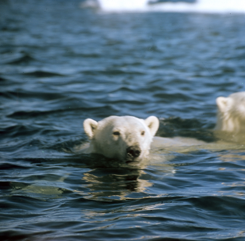
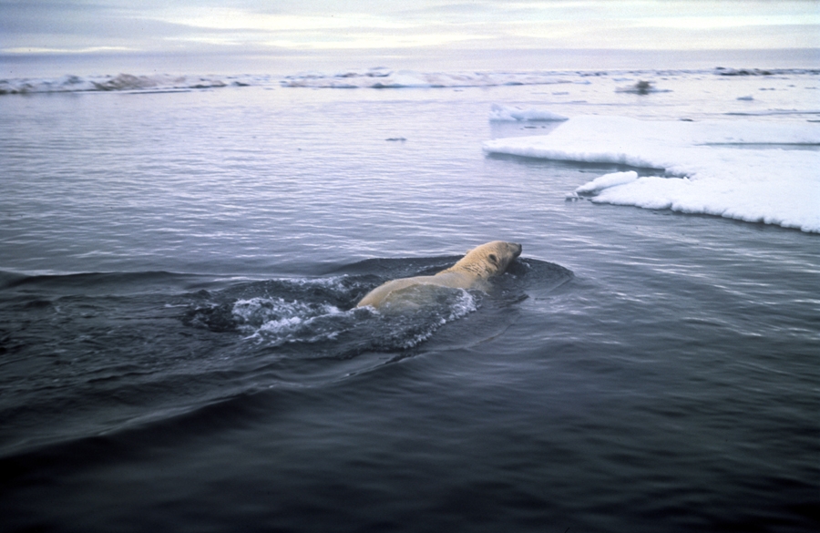
It took researchers almost a month to catch and immobilise four male polar bears: the researchers were working continuously under harsh weather conditions, including strong winds and temperatures below minus 20 degrees Celsius. They fastened Russian-made satellite-tracked GPS collars around the necks of two polar bears. One of the polar bears still wears its collar, yet the one which was the first to be fitted with a collar already got rid of it. Now the researchers rely on signals transmitted by the collar that is still attached to the animal for charting migration routes. The polar bear covered a distance of about 60 kilometres in five days heading almost directly north. Taking into account ice drifts in this area, the animal could travel at a speed of about 10 kilometres a day.
Researchers around the world usually place satellite-tracked collars on female polar bears as the shape of their heads and necks allows the animals to wear the collars for a long time. The female bear stops growing when she reaches maturity while the male keeps growing and gaining weight throughout his life.
The expedition aimed to observe how satellite-tracked collars would work at high latitudes and in extreme temperatures. The researchers decided against catching the female polar bears because the ones that the researchers encountered at the time were accompanied by their cubs and catching them would have jeopardised the life of the young. Instead, the researchers decided that they would test the transmitters on land and that they would also attach collars to two males to find out where the animals move at that time of the year. And they decided that if a polar bear lost its GPS collar, they would instead use it to track drifting ice in the area. Now the collar which was thrown off by one of the polar bears and left on the ice is providing precisely this information.
The two polar bears were caught and immobilised by the researcher from a hiding place near the food that had lured the animals and from a helicopter (as is usually done by foreign researchers). The researchers also tried out another method of catching the polar bears by using special traps with food inside (this method is likely to be widely used in warmer seasons).
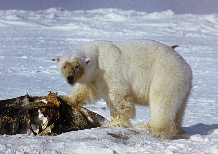
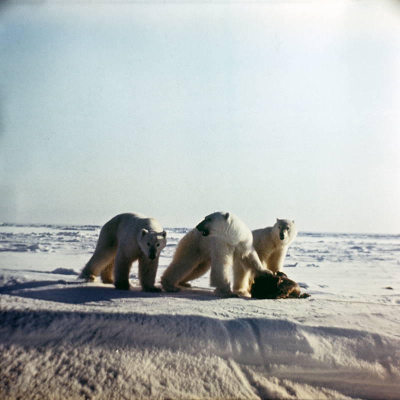
After polar bears had been caught and immobilised the researchers took blood, fur and feces samples for genetic and veterinary analysis. Aerial surveys and observations from helicopters also allowed them to record the other animals inhabiting the area. All in all, the researchers counted 22 polar bears, including three females with cubs and a breeding pair. They also registered a group of Greenland whales, Atlantic walruses and two species of birds: ice gulls and Arctic terns.
Experts in various fields took part in the expedition: zoologists, environmentalists and climatologists, specialists on marine mammals, immobilisation specialists, staffers with the Institute of Ecological Problems in the North at the Russian Academy of Sciences' Ural Branch in Arkhangelsk, staffers from the Franz Josef Land Nature Reserve, and members of the Russian-American Commission on the Polar Bear (the Chukotka Peninsula). Vladimir Putin, Emergencies Minister Sergei Shoigu and experts from the Russian Emergencies Ministry and the Russian Federal Security Service were directly involved in the expedition's work.
Franz Josef Land
Franz Josef Land is an archipelago in the Arctic Ocean in the north of Europe. It is under Russia's Arctic sovereignty and is part of the Arkhangelsk Region. The archipelago consists of 191 islands covering a total area of 16,134 square kilometres.
Already in the 18th century Mikhail Lomonosov (a prominent Russian scientist and writer) spoke about the existence of islands to the east of the Spitzbergen Archipelago. In 1871, Pyotr Kropotkin (a Russian geographer, revolutionary and a theorist of the anarchist movement) even presented a project to organise an expedition to explore these islands to the Russian Geographical Society, however, the government refused to provide funding at that time.
The archipelago was discovered by accident. In 1872, an Austrian expedition led by Karl Weyprecht and Julius Payer on a sailing schooner with a steam engine, the Tegethoff, set out to find the north-eastern passage of the Arctic Ocean. Stranded in the ice to the north-west of Novaya Zemlya, the schooner began drifting with the ice to the west until it reached the shore of an unknown land on August 30, 1873. In April 1874, Payer managed to reach 82°5' north latitude and map this vast archipelago which the first explorers thought consisted of large islands. The Austrian explorers named the newly found land after Austrian Emperor Franz Joseph I.
Over the next 40 years, the archipelago saw many famous visitors, including Benjamin Leigh Smith from Scotland, Norwegian explorer Fridtjof Nansen and Russian Vice Admiral Stepan Makarov.
In 1913 and 1914, an expedition led by Russian explorer Georgy Sedov spent the winter in a bay of Hooker Island. Sedov died on the way to the North Pole and was buried on Rudolf Island.
In 1914, an expedition under the command of Russian Navy officer Iskhak Islyamov, which was searching for Sedov, reached the archipelago. Islyamov declared the archipelago Russian territory and raised the Russian flag there.
In 1929, the first Soviet research station was established in Tikhaya Bay of Hooker Island. Beginning from that time Soviet Arctic expeditions travelled to the archipelago every year.
In 1936, the base of the first Soviet airplane expedition to the North Pole was established on Rudolf Island. From there, in May 1937, four heavy four-engine ANT-6 aircraft carried Ivan Papanin and his team to the North Pole. Also, the Arctic station began to operate on the island.
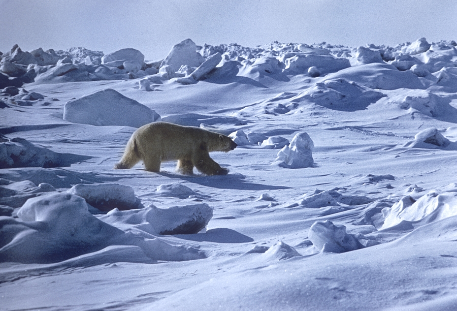
Glaciers cover 87% of the archipelago's territory. The ice is 100 metres to 500 metres thick. The climate is Arctic. The average annual temperature is -12º Celsius (Rudolf Island); average temperatures in July range between -1.2º C in Tikhaya Bay (Hooker Island) and +1.6º C (Heiss Island); the average temperature in January is about -24º C (the lowest temperatures in winter can drop to -52º C), with wind speeds reaching 40 metres per second. The annual amount of precipitation ranges between 200 to 300 millimetres and 500 to 550 millimetres (in the area of accumulation of icecap glaciers).
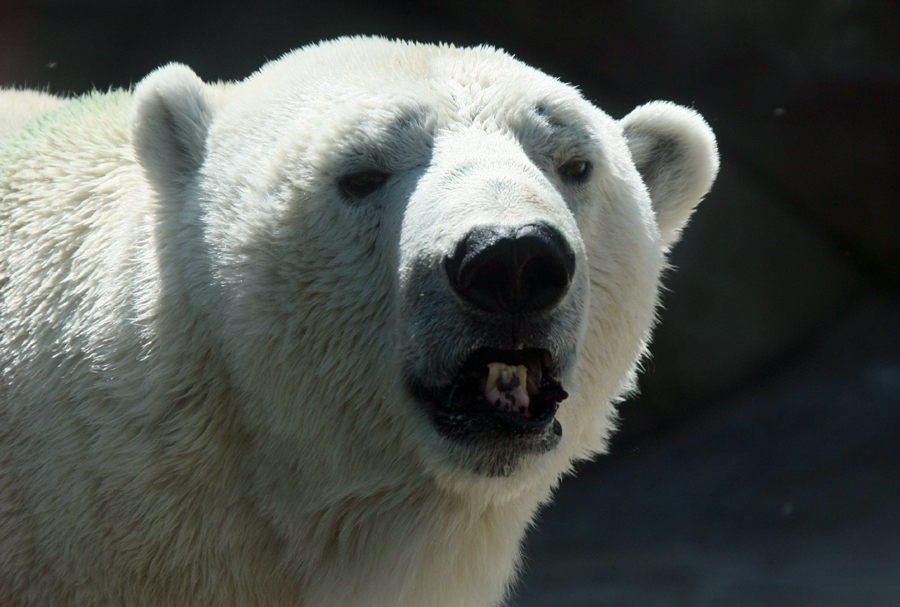
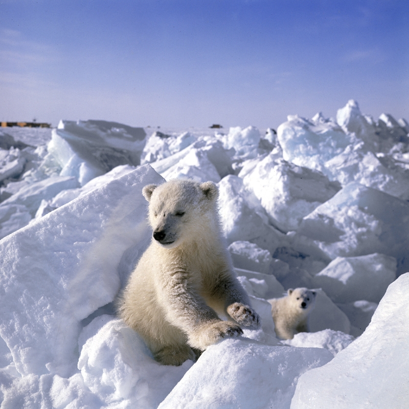
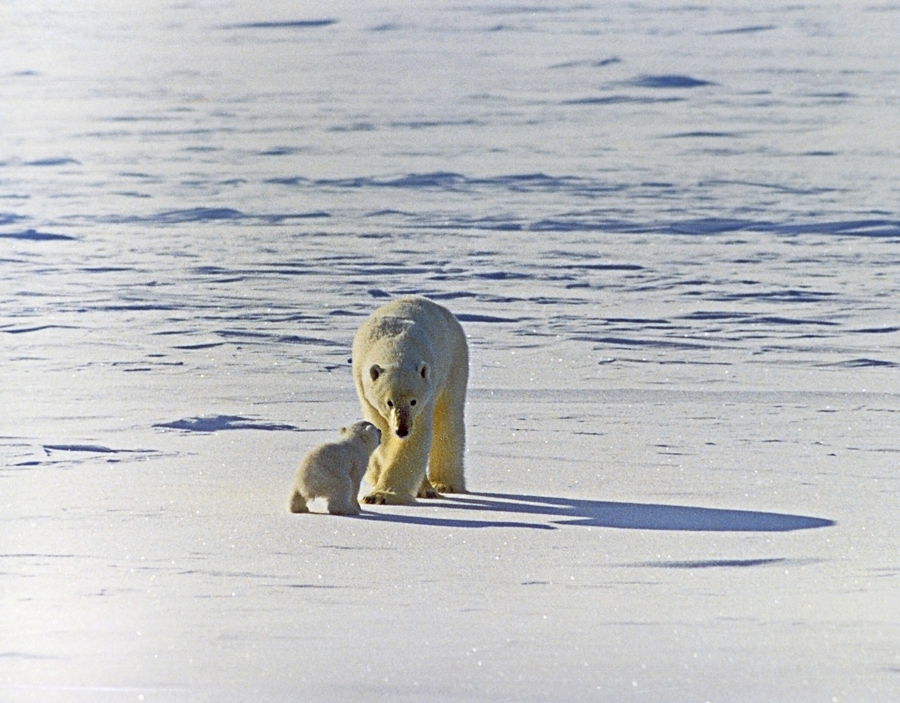
Vegetation in the archipelago is dominated by mosses and lichens. Also, Arctic poppies, saxifrages, whitlow grass and Arctic willows can be found there. Animal life includes polar bears and a small number of Arctic foxes; and in the Arctic waters around the archipelago there are seals, bearded seals, Greenland seals, walruses, narwhals and white whales. With 26 species, the diversity of birds there is impressive: little auks, black guillemots, guillemots, kittiwakes, ivory gulls, glaucous gulls and other species of birds form bird colonies in the summer.
The northernmost post office in the world, Arkhangelsk 163100, is located on Heiss Island. The island also has the world's northernmost meteorological station, the Krenkel observatory (established in 1957). Arctic research stations operate on Alexandra Land and Rudolf Island.
The world's northernmost border post, Nagurskoye, of the Russian Federal Security Service is located on Alexandra Land Island.

 ABOUT THE PROGRAMME
 POLAR BEAR RESEARCH: A HISTORY
 POLAR BEAR: LIFE, BEHAVIOUR AND MORE
 VLADIMIR PUTIN'S VISIT
 NEWS
NEWS
 MULTIMEDIA